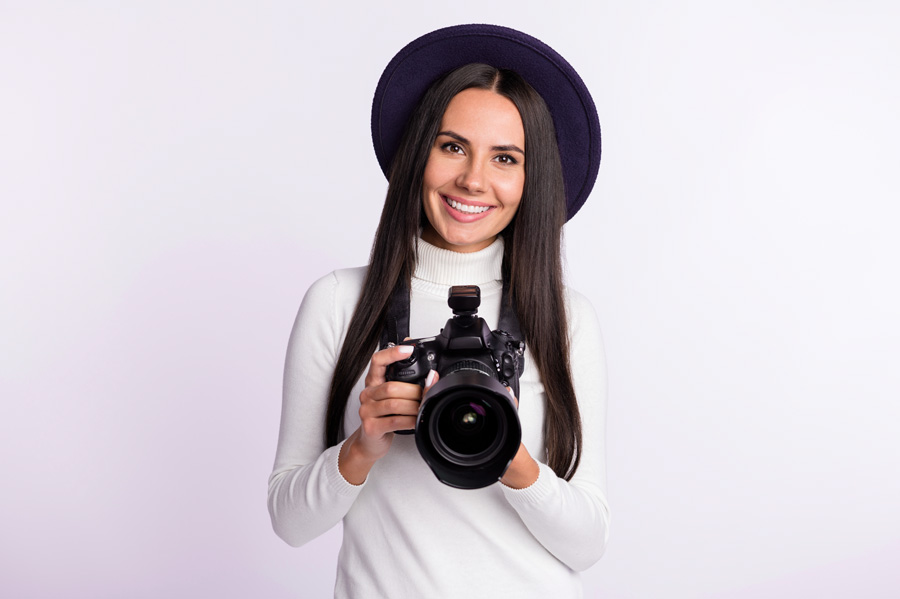
Oregon
wildflowers in 10 albums
Oregon
landscapes 4 albums
|
Short travel
report
From a tourist
information center I received a wonderful leaflet about the 'Oregon
Scenic Byways & Tour Routes', a driving guide' which helped so much
to plan our trip. Many trips are described and shown in this leaflet
with some marvellous pictures to give a good impression of the beauty of
this state. Now I tried to write a story about our trip, but this was
far too long for this website. So, here a short description of some
highlights and more information in a separate web page. See Oregon-info
The 'Painted Hills' -
a series of coloured hills and mountains as never seen before, very
special. And also along this 'Journey Through Time Scenic Byway' the so
called 'Clarno Unit' rock formation along the John Day River. And also
for rock climbers or mountaineers very interesting the 'Smith Rock State
Park' north of Bend with the Crooked River. Also the 'Desert-Route' or,
as the right name is: 'Oregon Outback Scenic Byway' Hwy 31 from La Pine
southeast to Lakeview wilth the famous 'Fort Rock' and the Abert Rim and Abert Lake
along Hwy 395. Then heading west from Lakeview and Goose Lake to Klamath
Falls by driving Hwy 140 and Hwy 66 to Grants Pass, a route with many
wildflowers. From Grants Pass following Hwy 199 into California and
there the hugh Sequoia trees in the 'Jedediah Smith Redwood Park' along
the Smith River..
Driving
back north along the Oregon Coast about 350 miles, passing on Hwy 101
marshes, seaside cliffs, lush agricultural valleys and wind-sculpted
dunes. One of the finest and most impressive coastal routes of the world.
With many capes with wonderful views along the rocky shore, north and
south, rock formations with seals and sea lions, stacks coming out of
the ocean. Rivers flowing into the ocean along enormous beaches. You
must have seen this all to realize the beauty of Oregon. Nice villages
and small cities along the coast, peaceful and certainly not crowded in
May.
Now I
mention from southern Brookings some highlights ending up in Astoria on
the Columbia River in the north of Oregon:
Harris Beach State Park north of Brookings - Cape Ferrelo - Pistol River
beach - Cape Sebastian - Port Orford Heads State Park - Cape Blanco -
Bandon, nice and peaceful city - Shore Acres State Park and garden - Oregon Dunes
and
Florence - Heceta Head with lighthouse, so loved by Americans - Strawberry Hill
with all kinds of seals -
Cape Perpetua, up to the information center and walking around for one
of the best views! - Yachats - Seal Rock
State park - Newport with sea lions and lighthouse - Cape Foulweather -
Depoe Bay with the smallest navigable harbor of the world - Cape Lookout - Cape
Kiwanda, in one word: fantastic!!! - Cape Meares - Nehalem Bay - Hug
Point with small romantic waterfall - Cannon Beach with the biggest
Haystack Rock, a 235-foot monolith, towering over the enormous beach - Astoria
with the hugh 4-mile bridge crossing the Columbia River to Washington,
and the harbor etc. -
Fort Stevens on the river shore near the Fort Stevens State park with
large campground.
I could tell you many pages more. You can see it all in the albums with
about 400 pictures, plus many about wildflowers, coming soon - still
work to do. So, enjoy the albums and if you also want to do this trip:
safe and happy journey!!
Oregon-info
|
|